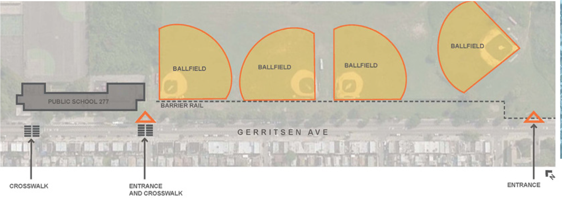
Gerritsen Avenue Pedestrian Path
Existing Conditions
The Gerritsen Avenue Pedestrian Path is an extension of an existing pedestrian path in Marine Park, Brooklyn which connects to a public school. The site is
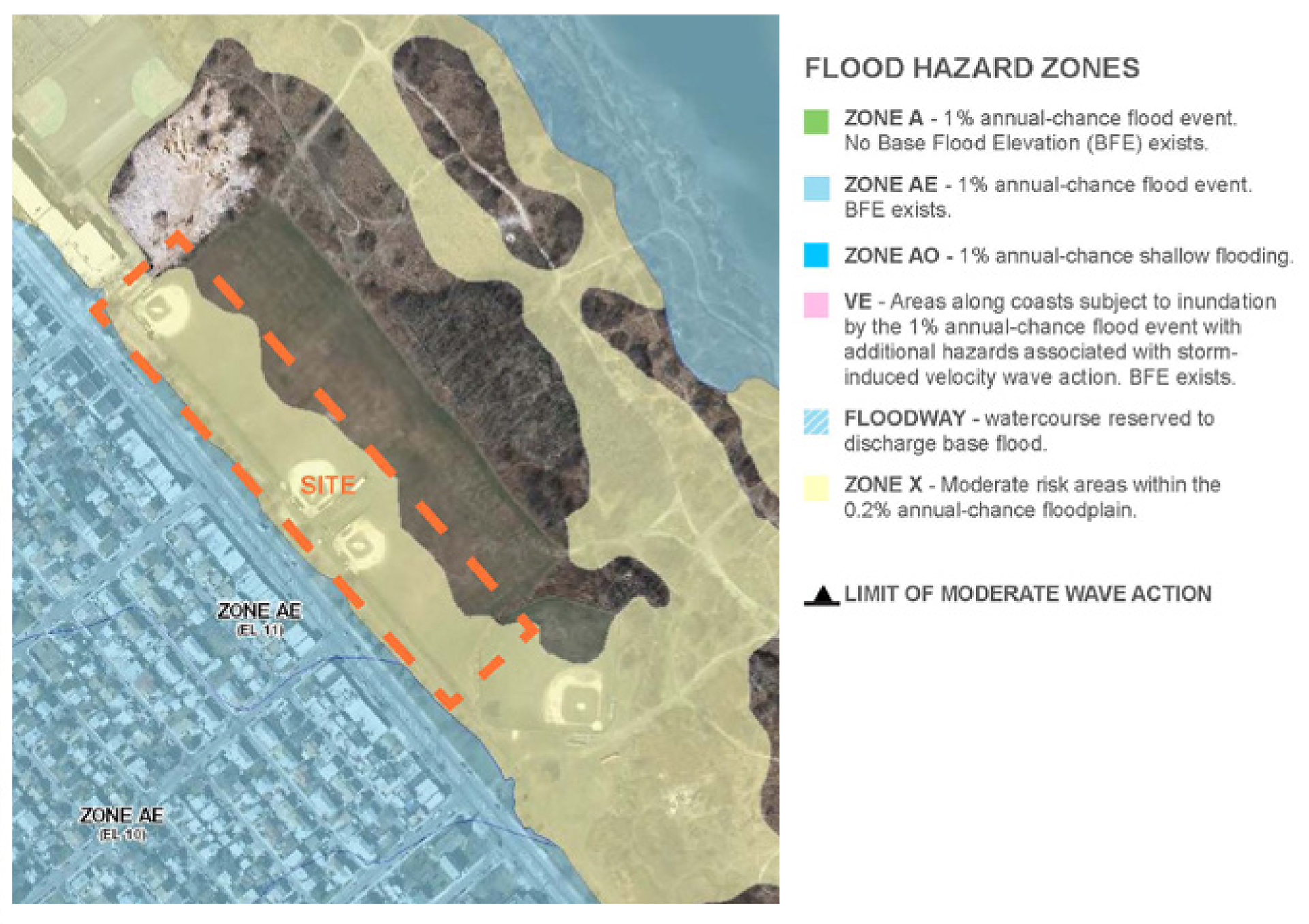
located in a flood zone and is near a mostly residential area with some mixed use. The path doubles as a bike path and will eventually serve as part of a link to
existing bike paths in Brooklyn. The entrance gate is there to prevent
non-authorized vehicles from entering the site while allowing pedestrians to enter the site from the side.
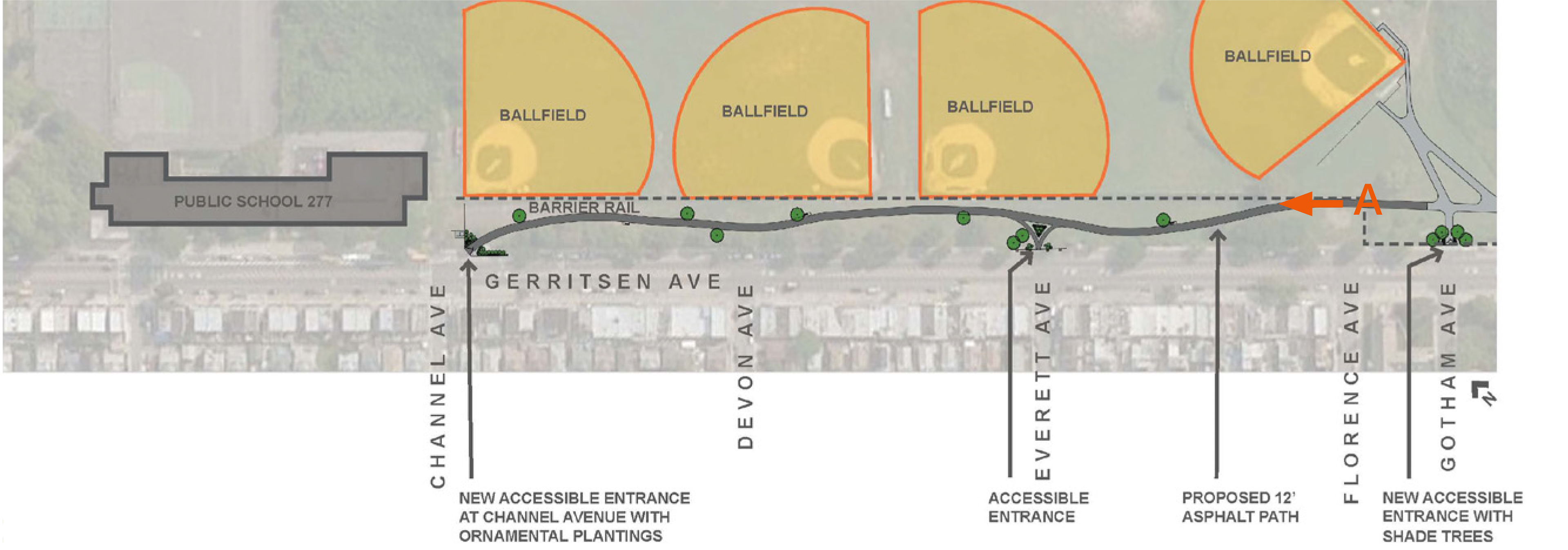
Schematic Plan
Entrance Plan and Perspective

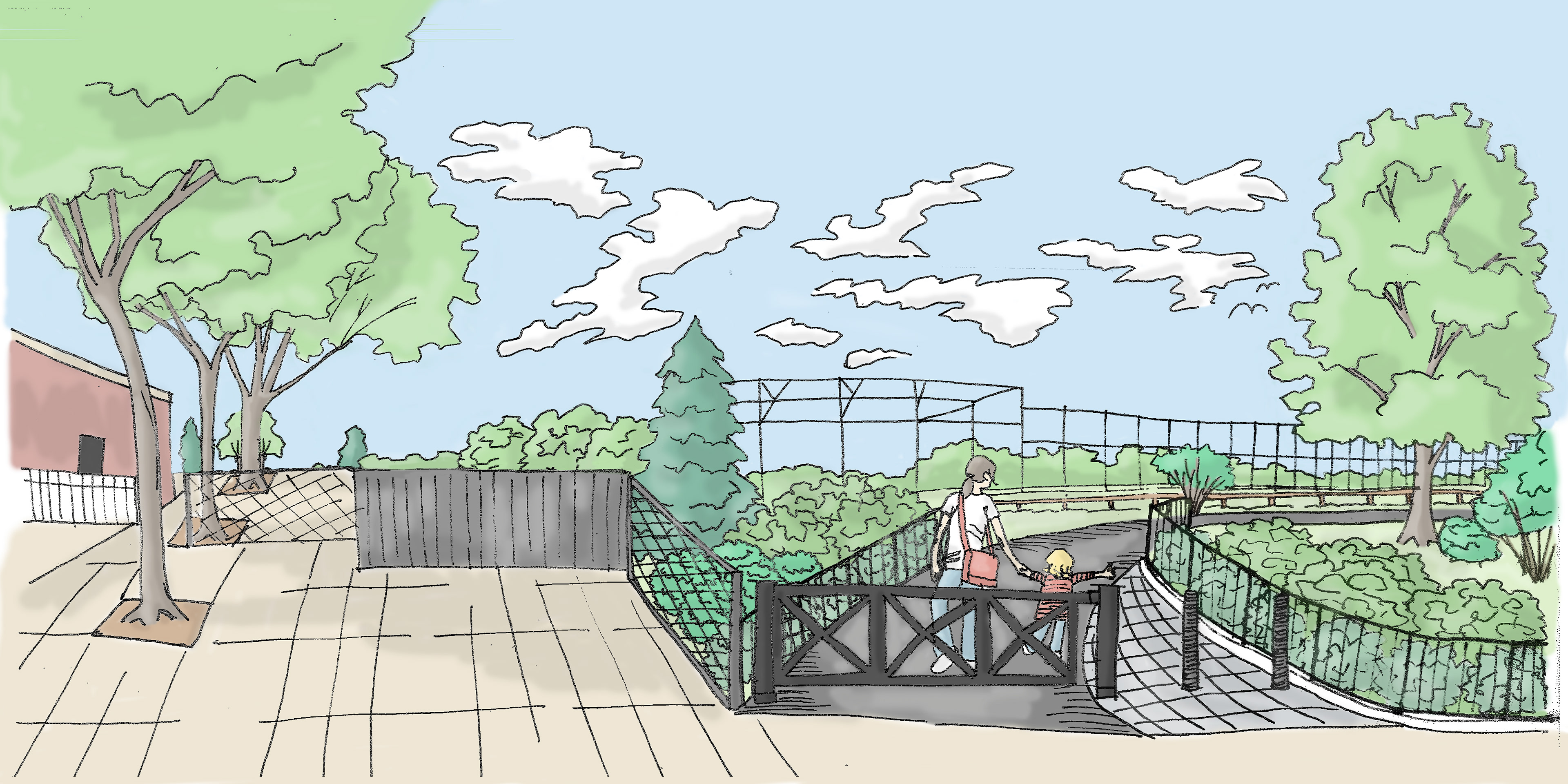

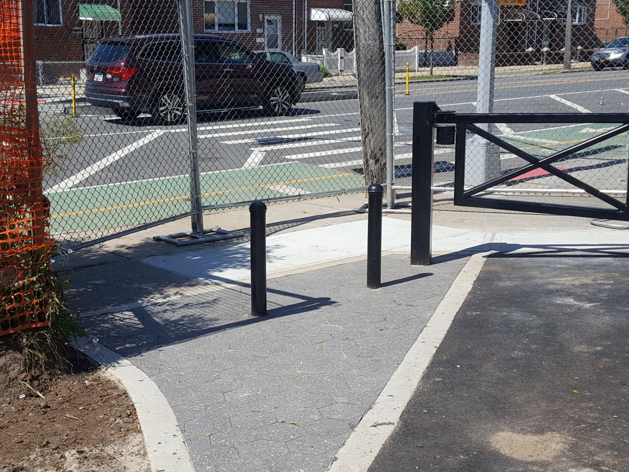
(above left) A. Asphalt Shared Use Path; (above right) B. Bollards and Vehicle Gate